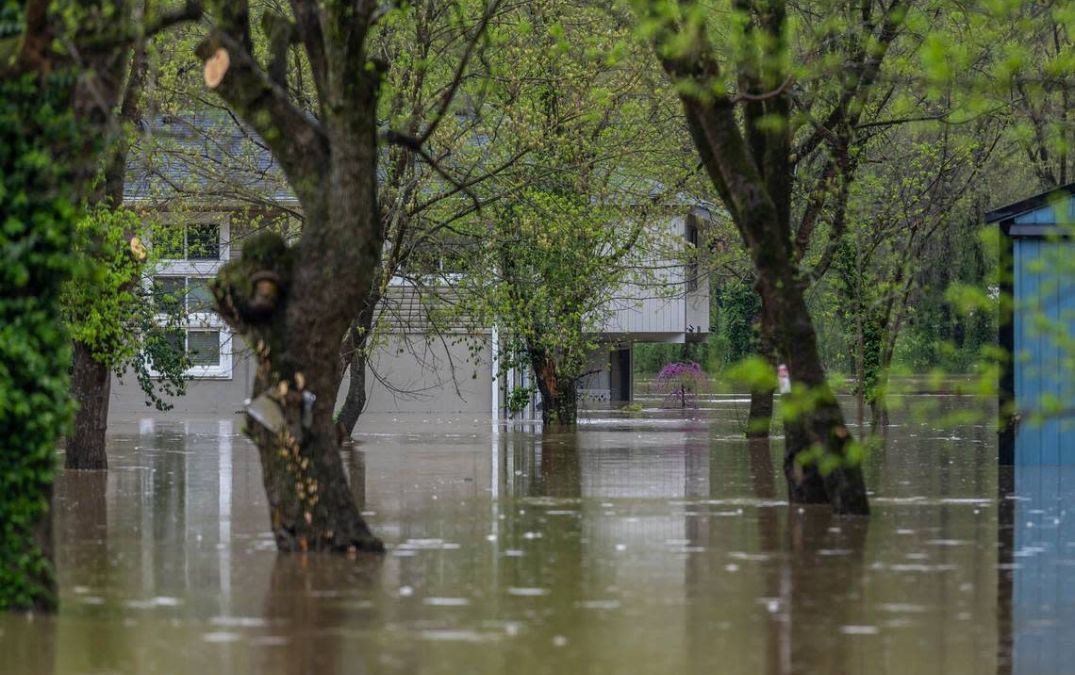
Over the past several days, relentless downpours have swept through Kentucky, bringing widespread flooding, swollen rivers, and emergency warnings in many communities. Some areas have seen record rainfall, with Benton receiving over 15 inches from Wednesday through Sunday.
The National Weather Service reports that Louisville alone picked up 2.65 inches of rain over the weekend. But that’s just a piece of the bigger picture. Here’s a detailed look at how much rain various parts of Kentucky have seen, with data updated as of Monday, April 7.
Kentucky Rainfall Totals: April 7 Snapshot

According to data from Western Kentucky University’s Mesonet weather network, several counties recorded eye-popping rainfall over the last five days. Some of the highest totals include:
- Marshall County – 15.86 inches
- Christian County – 13.9 inches
- Graves County – 13.65 inches
- Caldwell County – 13.22 inches
- Hopkins County – 13.03 inches
- Butler County – 12.14 inches
- Grayson County – 12.50 inches
- Muhlenberg County – 12.39 inches
- Calloway County – 12.43 inches
- Trigg County – 14.3 inches
These staggering numbers reflect the sheer volume of water dropped on the state in less than a week, leading to flash flooding in many low-lying and rural areas.
Five-Day Rainfall Breakdown Across Key Counties
Here are just a few more standout totals from across the Commonwealth:
- Allen County – 8.12 inches
- Ballard County – 9.96 inches
- Barren County – 9.85 inches
- LaRue County – 11.63 inches
- Logan County – 11.42 inches
- Taylor County – 9.3 inches
- Ohio County – 11.33 inches

To explore real-time rainfall totals for your specific area, you can visit kymesonet.org and select “Precipitation” from the interactive map.
Where It’s Raining Now: Top 10 Counties (April 8 Morning Update)
As of Monday morning, the following counties recorded the highest rain totals since midnight:
- Clinton County – 0.26 inches
- Rowan County – 0.21 inches
- Bath County – 0.17 inches
- Pike County – 0.16 inches
- Madison County – 0.15 inches
- Knott County – 0.13 inches
- Pulaski County – 0.13 inches
- Russell County – 0.13 inches
- Harlan County – 0.12 inches
- Owsley County – 0.10 inches
While not as severe as the weekend totals, continued rainfall in these regions has officials monitoring rivers and flood-prone areas closely.
Flood Safety Reminder

As flash flooding remains a concern in many areas, emergency officials are urging residents to stay vigilant. Remember: “Turn Around, Don’t Drown.” Never attempt to drive or walk through flooded roadways, and always follow local alerts and evacuation notices.