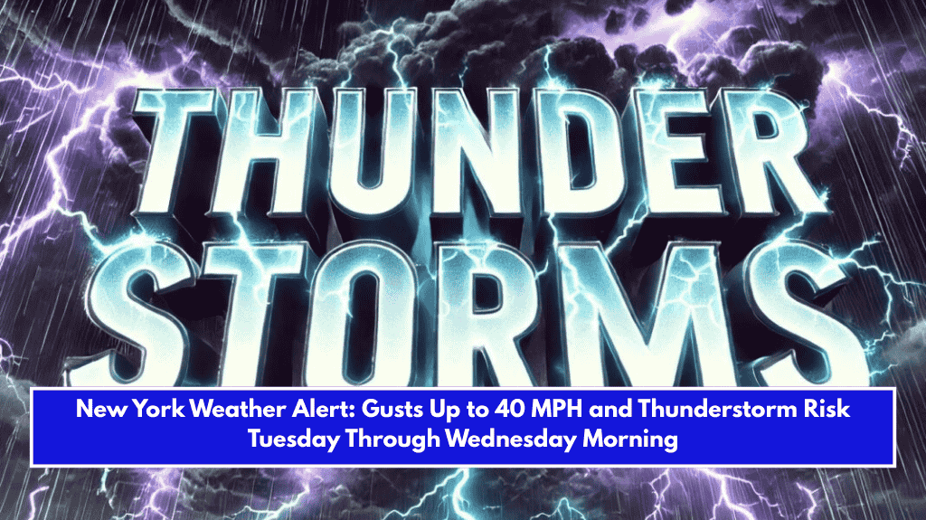
New York, NY – A blustery Tuesday is ahead for the New York City region, with a mix of early showers, afternoon storms, and wind gusts that could reach 40 mph before tapering off Wednesday morning.
According to the National Weather Service New York, a cold front will pass through the area early Tuesday, bringing scattered morning showers primarily east of the city.

Winds will be light at first, but will increase significantly by late afternoon, peaking at 15-25 mph with gusts up to 30-40 mph. The strongest gusts are expected in New York City’s northern and western suburbs, including West Milford and White Plains.
Late-day storms may develop as the front moves through, resulting in isolated thunderstorms and stronger localized wind gusts of up to 50 mph. Temperatures will range from mid-40s in the morning to 60s in the afternoon, with partly cloudy skies.
Residents should secure any loose outdoor objects, exercise caution on bridges and elevated roads, and keep an eye out for local alerts. The NWS predicts that conditions will ease by Wednesday as high pressure settles in, bringing drier and cooler air.