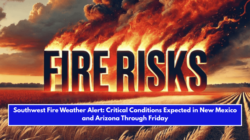
Norman, OK – A multi-day fire weather threat is developing across parts of the Desert Southwest and the adjacent Southern High Plains, with significant fire danger expected from Wednesday, April 16 to Friday, April 18.
According to the National Weather Service (NWS) Storm Prediction Center, the threat is expected to continue until Saturday, April 19.

A deepening upper-level trough over the western United States, combined with a significant increase in southwesterly mid-level flow, will result in high winds and dry conditions across southeastern Arizona and much of New Mexico.
On Day 3 (Wednesday), wind gusts will increase, and relative humidity in southwestern New Mexico will drop to single digits. The agency has forecast a 70% chance of critical fire weather conditions.
The fire weather risk will spread to southeastern Colorado and the western Oklahoma/Texas Panhandles by Day 4 (Thursday), as the upper-level trough intensifies, bringing even more severe conditions.

The combination of dry winds, downsloping winds, and receptive fuels will contribute to an increased fire risk.
Though rain and snow are expected in parts of the Southwest by the end of the week, the fire threat may persist in southern New Mexico and surrounding areas into the weekend.
For up-to-date fire weather information and alerts, visit www.spc.noaa.gov/fire.